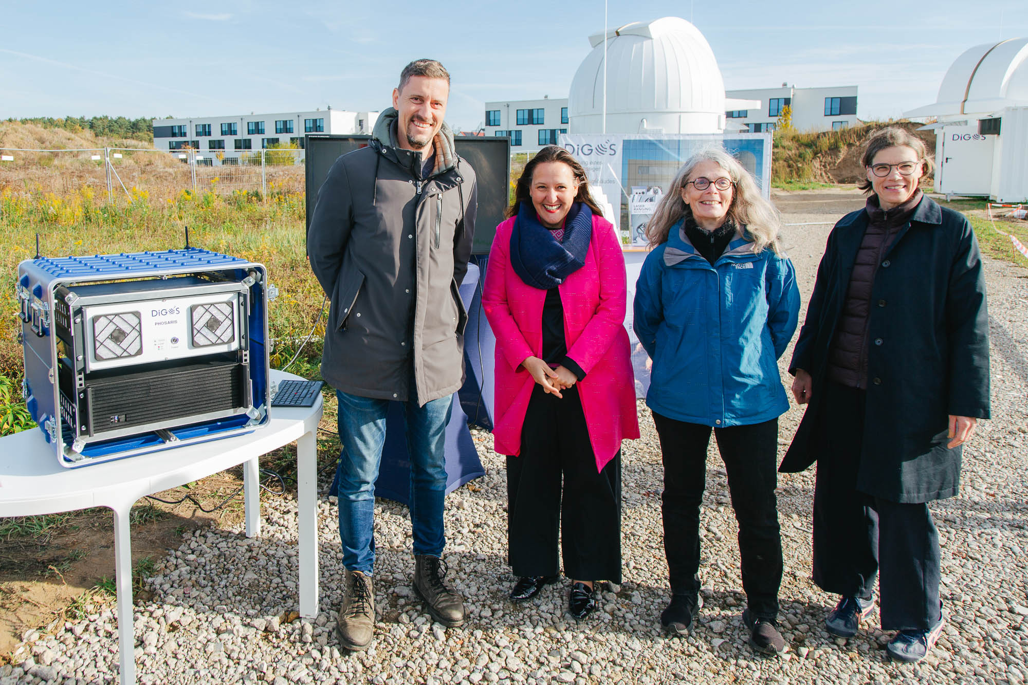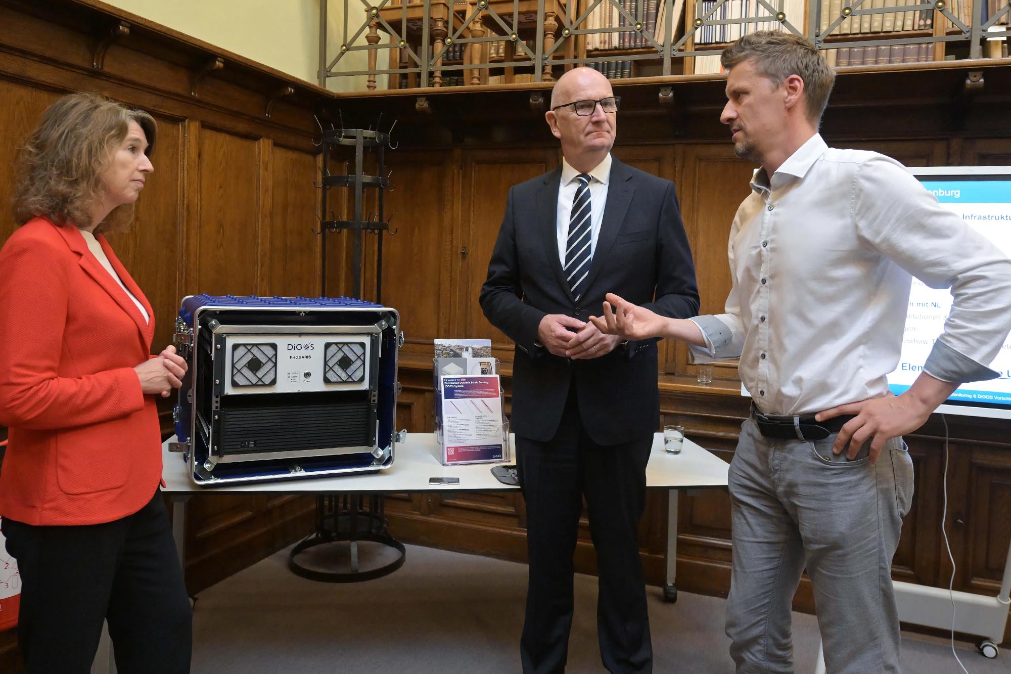


Hanka Mittelstädt visiting DiGOS
Hanka Mittelstädt, Brandenburg’s Minister for Agriculture and Food, Environment and Consumer Protection, visited DiGOS. We were pleased to welcome Hanka Mittelstädt, Brandenburg’s Minister for Agriculture and Food, Environment and Consumer Protection, to DiGOS. During the visit, we presented our fibre optic sensing technology Phosaris and discussed how intelligent infrastructure monitoring......
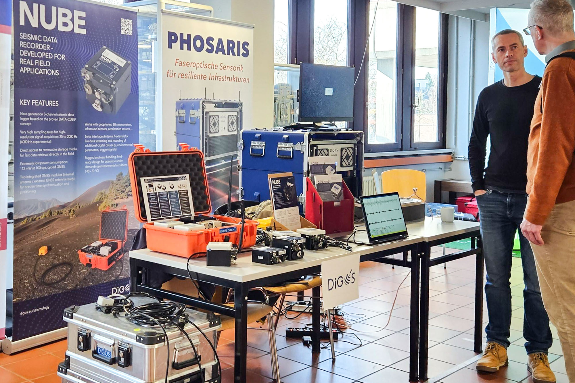
21 May 2026 Fiber Optic Sensing